What really floors us about the area around Moab is how many visitors from out of state seem lasered on Arches National Park. We stopped a while at the Visitor Center along the I-70 interstate and listened in as one visitor after another asked only about Arches. We loved that particular park, but were just as enamoured with the other sites (some a bit more off the beaten path) that had no lineups, no crowds and, in some spots, almost no other people.
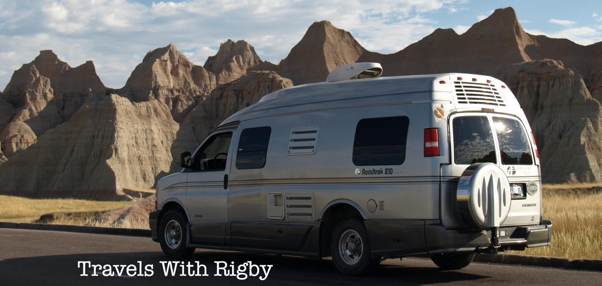
That’s how we spent this day. Exploring some of the lesser known routes and hiking trails.
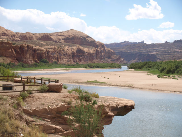
We started with the road marked Scenic Byway 279, just 7km/4mi north of Moab. The narrow road is paved and snakes beside the Colorado River. It’s a one-way trip (at least for a camper van) and is miles of astounding scenery and scenic pullovers until it turns into a rougher dirt road that heads deep into the floor of the canyon. On our wish list for next time: a 4WD tour past this point.
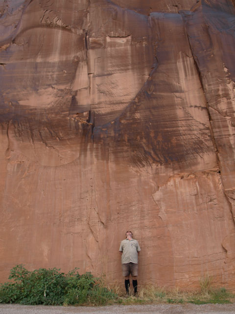
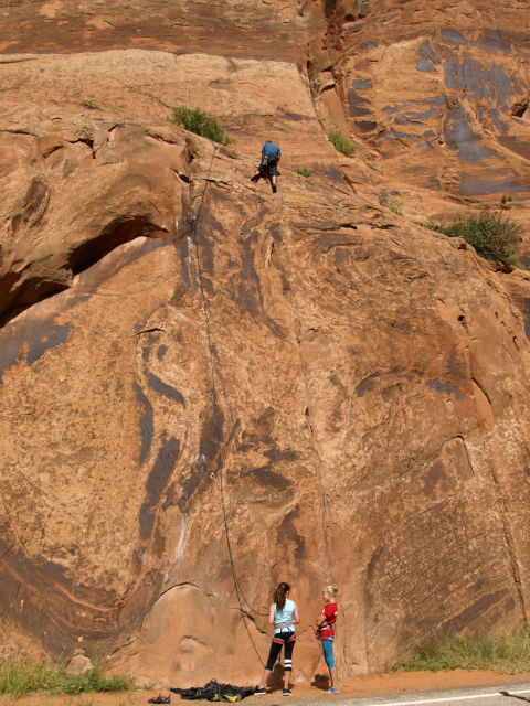
Right from the start, we were treated to soaring red rock cliffs on our right hand side, a favourite spot for rock climbers. They seemed to be the only other ones using this roadway.
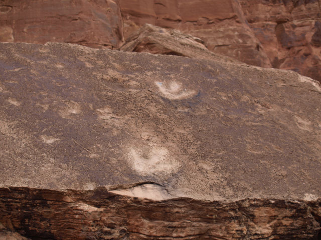
There are pullouts along 279 to look at the Indian rock art and one great hike up to three-toed dinosaur tracks preserved in a flat slab of rock. It was a short climb up to get a very close look at the fossilized tracks. Amazing to see these and we wondered how many more fossilized remains must be caught in the miles and miles and layers of these remote red rock canyons.
We try to make sure we get out from the van and do a little hiking every day. We found the perfect spot at the pullout for Jug Handle Arch (another of the Moab area’s trademark arch formations). We had the place to ourselves, walked into the canyon, an area of Bighorn Sheep and cathedral-like red rocks that seem to vault up all around.
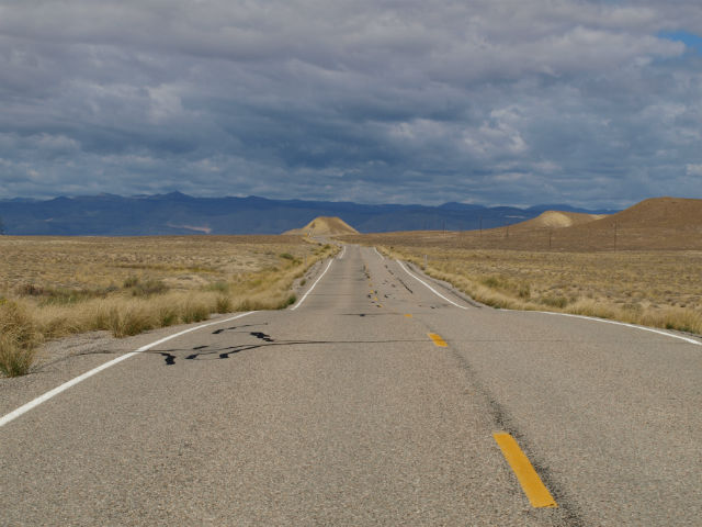
The next day we left Moab (and Utah) heading for Colorado and took the more backroads route, Scenic Byway 128 which also tracks the Colorado River, this time upstream. Highways 279 and 128 both follow the mighty river, and we saw many pretty BLM campgrounds, right on the riverbanks. These sites would be around $15USD/night, have few facilities, but the settings can’t be beat. They are on our list for the next time we are through.
It’s a great route for biking with a dedicated paved riding trail along a long stretch, rafting (also on our list for next time – can’t believe we missed it this time around!), birding and just a scenic drive. Heading east, the landscape changed dramatically (which has made route 279 a favourite for movie shoot locations): from the tall red cliffs that are the backside of Arches National Park, to spires, buttes and pinnacles, to rubble-like moraine to wide open high plains. We drove past the abandoned community of Cisco, which was once part of a robust mining economy and later a film site for Thelma & Louise.
Sad to say goodbye to Utah. Excited about exploring Colorado.
We’ve posted all sorts of photos here.