Follow us with photos: Grand Teton & our way through SW Wyoming
Leave a reply
Our travel schedule and route was looking a little iffy as the south entrance of Yellowstone was closed for a few days due to the large Berry forest fire. It’s been burning (result of a lightning strike) since late July and a day of high winds had whipped up the flames. The roadway out for us was closed. Then came a day of rain and … fire still burning but road opened.

We had mixed feelings about leaving Yellowstone since it is a one-in-a-million destination but we knew we needed to head on to Grand Teton National Park, just a short drive to the south of Yellowstone. Along most of the roadway between the two parks were acres of burned forest, black trunks of the lodgepole pines, foliage all scorched away and – in many places – hot spots still smouldering. But once we reached Grand Teton/Jackson Hole, all was back to green.
Semantics first. Jackson Hole refers to the region encircled by mountains. Jackson is the small, chi-chi town just past the south end of the park. The protected land that covers most of the area is Grand Teton National Park.
What a difference a few kilometres makes! Grand Teton is a completely different landscape. behind us were the geothermal geysers and mud pots of Yellowstone. Grand Teton is a textbook of plate tectonics and glaciation: uplift and slippage, earthquakes and thick glaciers that scoured out the valley. The whole area was like a university flashback for Jo, whose study minor was geology.
The visual buffet is the 80-km long Teton Mountain Range, formed by plate tectonics. All along the north-south drive, the rough peaks seem to rise right out of the lakes and valley below, with no foothills at all. We drove parallel to the entire range, with Jackson Lake and Jenny Lake between the roadway and the mountains. In September, the aspens are turning yellow, so there are bright splashes of colour on the mountainside. There are many bike paths and hiking trails (sorry Rigby, no dogs allowed). The wide expanse of the valley is spotted with sagebrush (the plants deep tap roots allow it to withstand weather and drought extremes).

This is a youthful landscape – geologically speaking – with strong tectonic forces at play. The fault line is still active and geologists expect a major earthquake could happen at any time. The range is one of the youngest on Earth – jagged peaks that have not yet been worn down by erosion.
Here’s how the region was formed. Around 10 million years ago, the two plates along the north-south Teton Fault slipped – on the mountain side the land was pushed upward, while on the valley side, it dropped. Over many eons of movement, the displacement approached 30,000 vertical ft.
Enter erosion. Two million years ago, glaciers filled the valley, leaving behind huge amounts of glacial debris, sort of levelling the valley’s sinking floor. There are still glaciers in the alpine areas, although they have receded almost 25 percent in the past 40 years, courtesy of climate change.
This scenery is jaw dropping. We wish we’d booked more time aside to just sit and stare at it.
Grand Teton is also home to much wildlife – bears, wolves, bison, elk, moose and pronghorn antelope. Just outside the south end of the park – and close to the town of Jackson – is the large National Elk Refuge, a protective wintering area. We camped at the small but very nice Signal Mountain campsite — bear warnings, food storage boxes and the whole nine yards in place. In the evening we met a group at the Oxbow Bend turnout for a ranger talk about wildlife spotting.

Wildlife related – but on canvas rather than moving through forests – is the fantastic National Museum of Wildlife Art just outside the Grand Teton south entrance. The museum’s mission is to explore how art helps us understand humanity’s relationship with wildlife and nature. The pictures and scultpture on display ties beautifully with the wildlife of the region. The carefully-curated galleries are divided into themes like pieces that illustrate familial roles, the heroic male (often standing on a rocky precipice, with an air of importance), the female of the species, and the predator and prey. A favourite was Chief, by Canadian artist Robert Bateman, of a massive bison in the mist. The museum is a must-see stop.

After leaving the museum, we drove through Jackson (no stops – this is a shopping-free expedition) and opted for the Scenic Byway route through Alpine and Afton, where we stopped to see the world’s largest Antler Arch! Thirty-thousand elk antlers and counting. Okay, kitschy but impressive.
The drive south along Highway 89 (dipping back and forth into neighbouring Idaho) follows much of the Snake River, with National Forest Service campsites and boat launches all along the route. The views gobbled up camera disk memory. South of Smoot, WY the land changes from hills and valley forest to wide expanses of ranch grasslands: Black Angus cattle as far as the eye could see, and serious stacks of rolled hay bales. To the west we were treated to a spectacular Wyoming sunset that turned the sky red and pink, and just minutes later the harvest moon rose over the mountains to the east. Talk about perfect timing.
Like the last few posts, we’ve added a separate photos-only post. Have a look and tell us what you think.

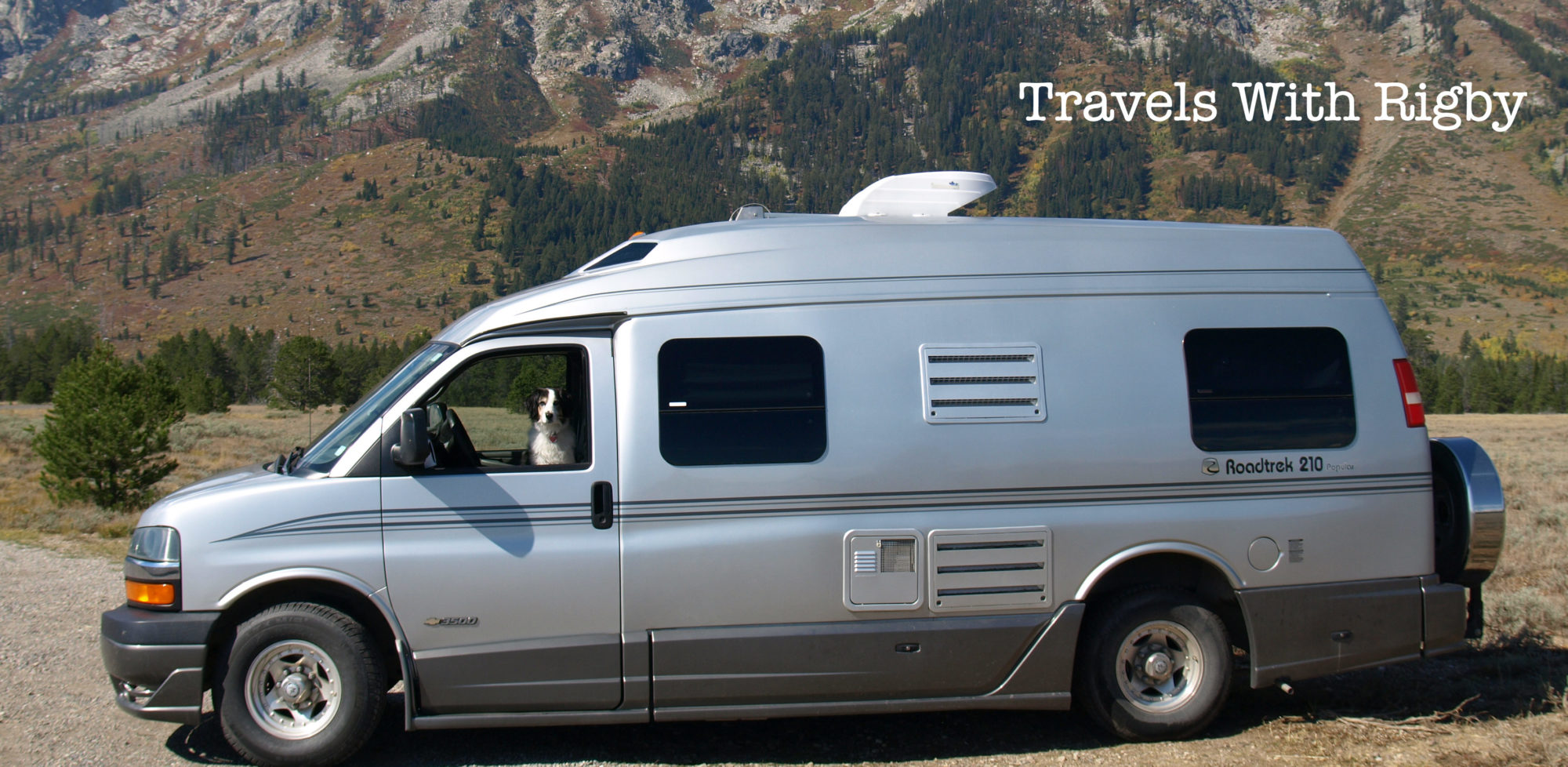
Spring and fall, we load the van – with everything from guitars to laptops – toss in a thick bundle of maps, several notebooks and roll down the road. We meet great people, gather wonderful story material and then write, write, write. Browse the links to some of our pieces in print:


Exploring The Small-Town Charms of New Brunswick’s Bay of Fundy, Zoomer